PT Jabal Aurum Suwarnadwipa
Smart Drone Solutions for Agriculture
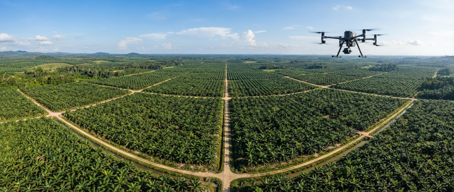
We deploy industrial-grade aerial drone fleets and heavy machinery across Indonesian plantations to optimize crop yields with centimeter-level precision.
Industrial Scale Execution
We bridge high-altitude multispectral diagnostics with ground-level mechanical power to prepare, monitor, and protect your agricultural assets.
Precision Drone Services
Heavy Equipment Services
NDVI & Mapping
Centimeter-level crop spraying, multispectral NDVI mapping, and aerial surveys designed to reduce chemical waste and optimize plantation yields.
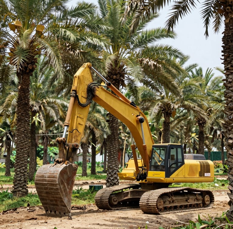
Industrial excavator rentals, land clearing, and site preparation to establish structured plantation boundaries and prepare soils for planting.
High-resolution multispectral diagnostics that translate aerial data into exact liters of crop protection saved per hectare.
Precision Flight. Heavy Ground Execution.
We eliminate plantation guesswork. By combining high-altitude multispectral data with heavy ground-level excavators, we ensure your land is perfectly prepared and continuously protected.
Our certified drone pilots and heavy machinery operators work in tandem across regional hubs in Indonesia to keep your operational costs low and your harvest yields predictable.
Ready for Fleet Deployment?
Contact our Jakarta headquarters or regional hubs to schedule precision drone spraying or heavy equipment mobilization for your plantation.
PT JAS
Precision flight. Heavy ground execution.
Sitemap
Home
Drone Services
Heavy Equipment
About
Projects
Contact
Fleet Deployment
info@ptjas.co.id
+62 21 555 8989
Jakarta & Regional Hubs, Indonesia
Operational Hours: Mon-Sat 08:00 - 17:00 WIB
© 2026 PT JAS-Industrial-grade agricultural drone and heavy equipment services across Indonesia.
HECTARE-LEVEL PRECISION